AI in Urban Planning: Where It Helps, Where It Doesn't and How Practices Use It

Joe Sherman · Head of Growth at Gendo
15 October 2026
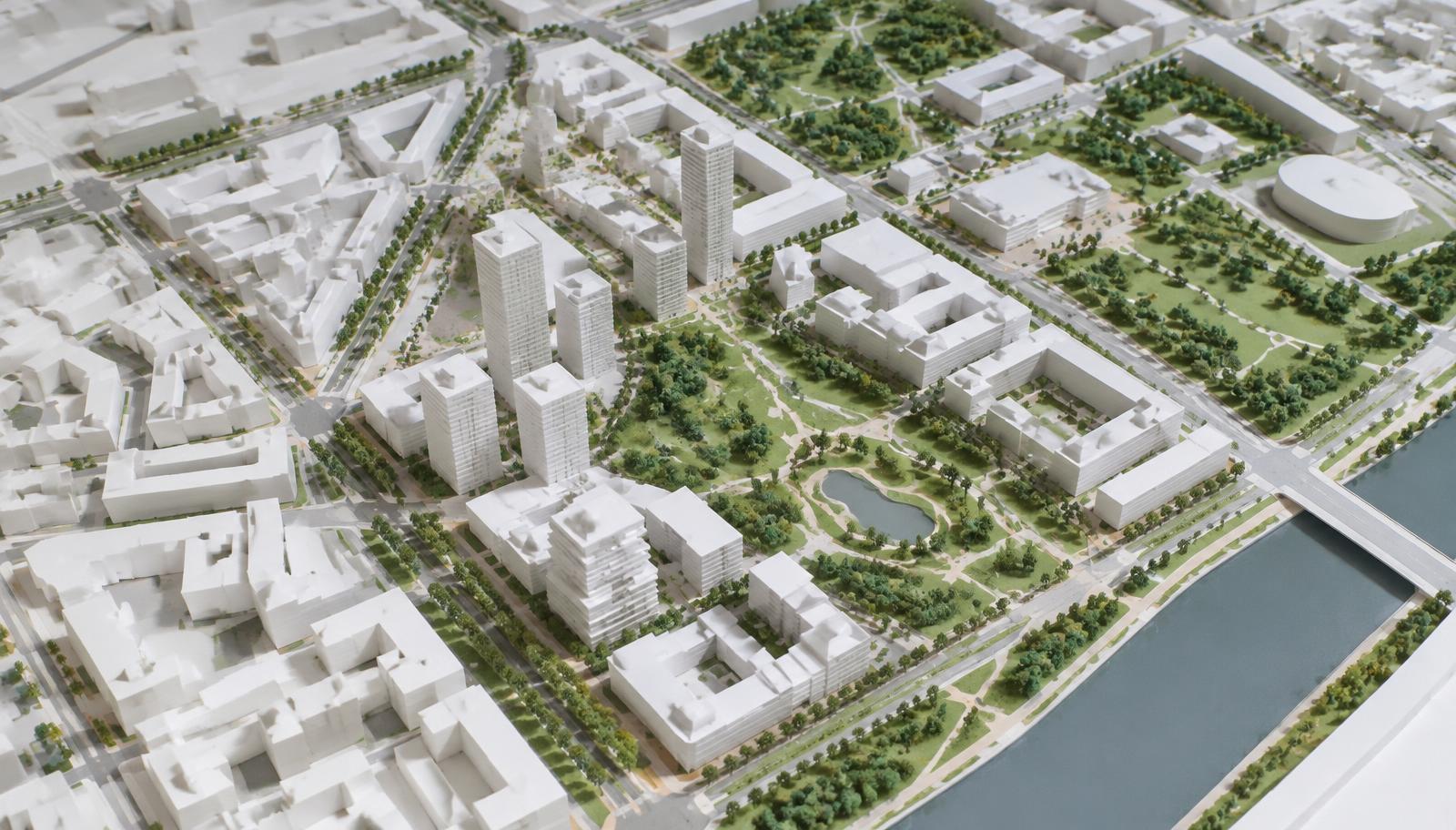
AI in urban planning isn't one thing. Some tools analyse data about places; others generate layout options or produce images of proposals. They're at different stages of maturity, with different implications for accuracy and public trust. How transparent you are about their use matters too.
For your practice, the useful question is where these tools can support the work, and where you still need to be cautious. Here's a look at how they're being used in urban planning and urban design today.
What "AI in urban planning" covers
The term brings together quite different technologies:
- Analysis: machine learning applied to data on movement, land use, environmental conditions or demographics.
- Generative design: software that produces layout or massing options against set rules, such as density, daylight or open space.
- Simulation: faster, AI-assisted approximations of daylight, wind, microclimate or energy.
- Visualisation: generative image models that turn massing, sketches or photographs into images of proposed places.
- Language tools: large language models used to summarise policy, consultation responses or technical reports.
Where AI helps today
Early-stage options and scenario testing
Generative and parametric tools can produce layout options quickly, giving your team more scope to test trade-offs before committing to a direction. You might explore how changes in density affect daylight or the amount of open space. The value is in considering a wider range of options, not asking the software to choose for you.
Visualising proposals for clients and communities
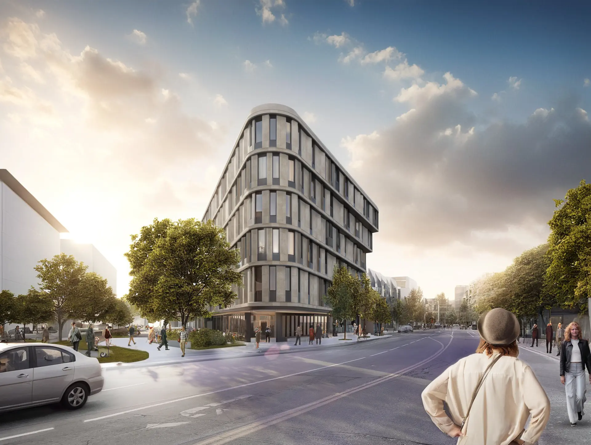
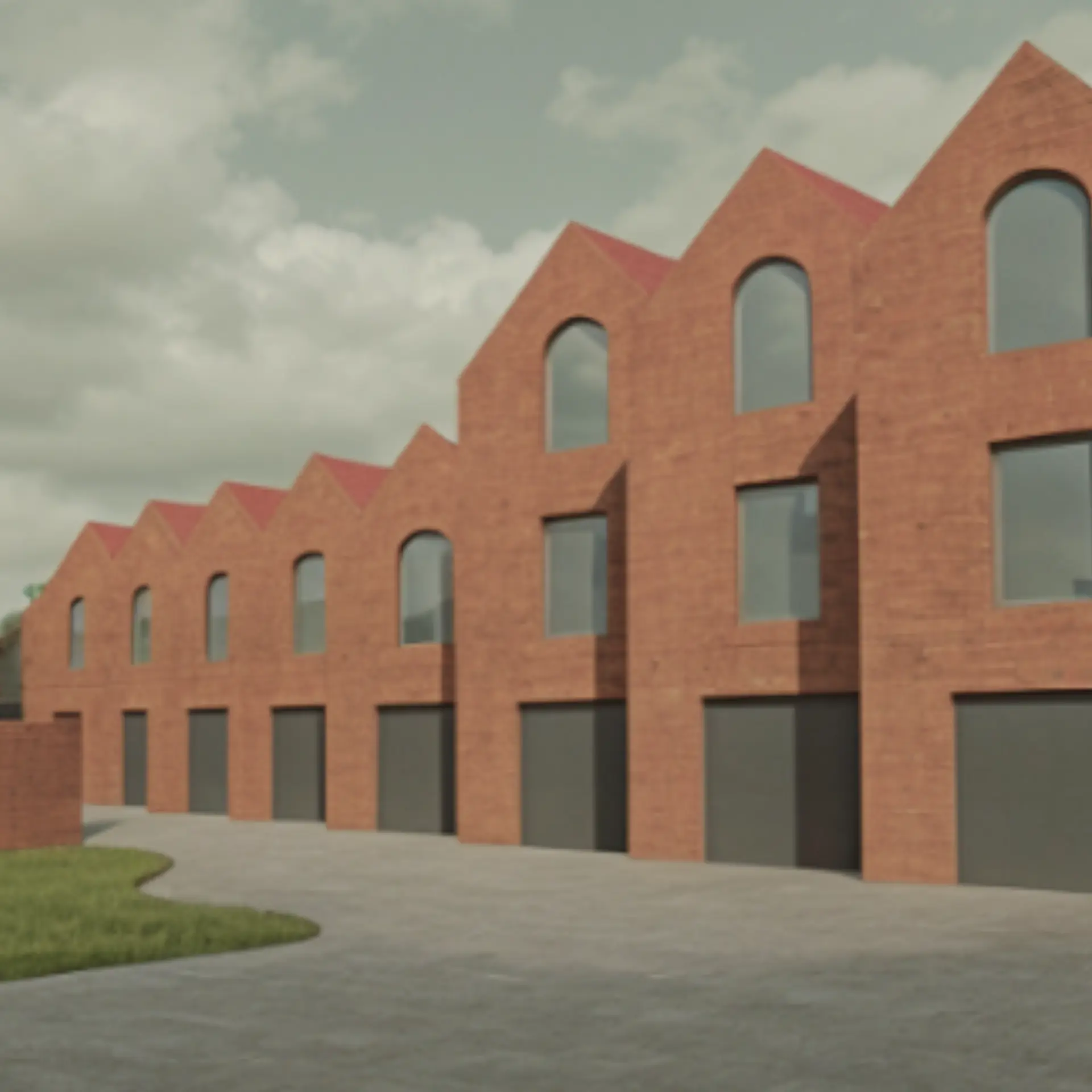
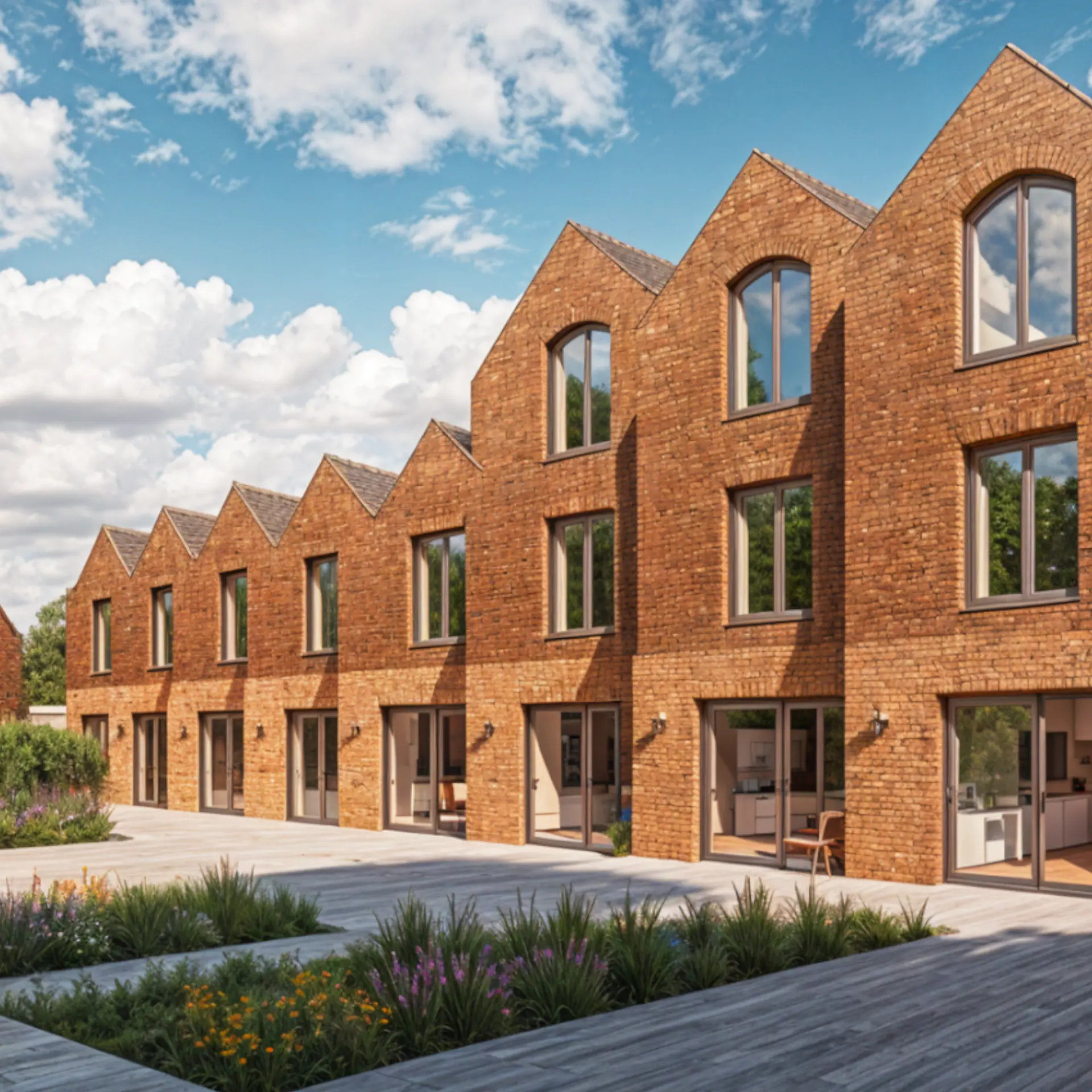
Urban design often relies on diagrams and plans that non-specialists find difficult to read. AI visualisation can turn simple massing into street-level images, making it easier for people to understand the proposed place.
MCAU, a design, planning and placemaking practice, uses Gendo this way at early stages. Urban designer Liam Cox describes the gap it fills:
"At the urban design level, visuals can sometimes be quite diagrammatic. Gendo helps us bridge that gap, showing clients and communities a vision they can immediately relate to."
Starting with SketchUp massing, the team uses prompts to explore materials, street landscaping and lighting. They also add people and trees for scale. Liam is clear about where it fits:
"It's not about replacing traditional renders completely. But for visionary, front-end images, Gendo has been incredibly beneficial."
Read the full MCAU case study.
Community engagement
Clearer images can make consultation more inclusive by helping more people engage with a proposal. But those same images can mislead if they aren't honest about scale, planting or context. As the designer, you're responsible for checking what they communicate. The tool can't take on that responsibility.
Summarising and drafting
Language models can help you summarise long policy documents or work through large volumes of consultation responses. You'll still need to check the output against the source: these tools can misstate points or leave them out.
Where AI doesn't help, or needs care
- Decisions: planning judgements balance policy and evidence with local priorities. They remain the responsibility of planners and elected decision-makers.
- Technical accuracy: AI-generated images aren't verified views. Generative layouts aren't compliant designs until they've been checked.
- Data quality and bias: analysis is only as good as its data, and gaps can reproduce existing inequalities.
- Transparency: stakeholders should know when images or analysis are AI-assisted, and how AI has been used.
- Privacy and IP: check what happens to project data and imagery you upload to any AI tool. On Gendo's Studio and Enterprise plans, prompts and outputs are never used for model training; on Free and Educational plans they may be. See Data and control for the full position.
A practical workflow for AI visualisation in urban design
- 1.Start with massing: build a simple massing model in SketchUp, Rhino or similar, using real context.
- 2.Fix the views: choose street-level and aerial views that represent how people will experience the place.
- 3.Generate options: use prompts or reference images to apply materials, landscape and lighting, then compare the options side by side.
- 4.Add life: introduce people, trees and street activity for scale, using tools such as cut-out people.
- 5.Review together: capture comments from your team and client on the images themselves, for example on a shared canvas.
- 6.Check honesty: before using the images for engagement or planning, check scale, context and planting maturity against the drawings.
For rendered site plans and masterplans, see rendered floor plans and site plans.
What to look for in AI tools for urban planning
When you're assessing a tool, look for:
- Respect for input geometry, so images stay true to the massing
- Control over materials, landscape and time of day
- Collaboration and a clear record of which option was agreed
- Clear data policies, including no training on your project data and clear ownership of outputs
- Commercial licensing for client and public use
Frequently asked questions
How is AI used in urban planning?
AI is used to analyse data and generate layout options, as well as to speed up environmental simulation. It also helps teams visualise proposals and summarise documents or consultation responses.
Will AI replace urban planners?
No. AI can speed up analysis and visualisation, but planning depends on human judgement and negotiation. Democratic accountability remains with people too.
Can AI images be used in planning applications?
They can support an application if they represent the proposal honestly. Where verified views are required, you'll still need a documented verified-view methodology.
What are the risks of AI in urban planning?
The main risks include inaccurate or misleading images and analysis based on biased or incomplete data. Lack of transparency and unclear handling of project data are concerns too.
How are urban design practices using AI visualisation?
Practices such as MCAU use AI to turn early massing into street-level images for clients and communities, alongside traditional renders for later stages.